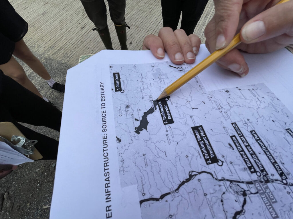
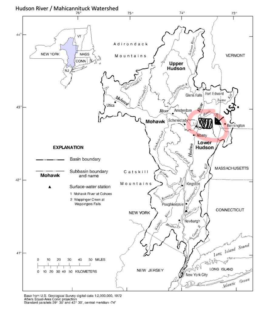
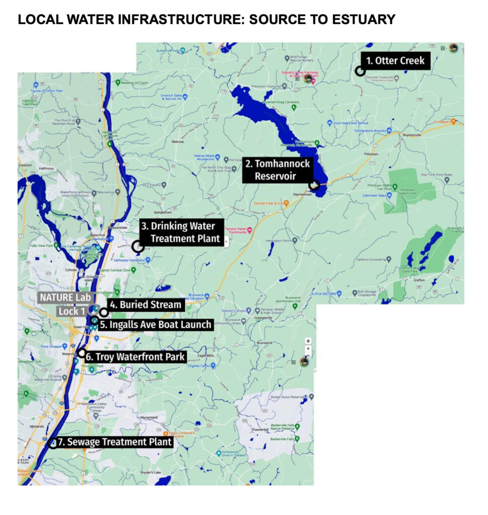
Source to Estuary kicked off with a whirlwind tour of water infrastructure in and around current-day Troy, New York. Side-by-side below are the two maps we used to ground and guide ourselves as we considered our location within the broader Mahicannituck / Hudson River Watershed (L), and a series of specific locations that related to Troy’s water system (R). The full PDF handout is here.
![A map of the Hudson River watershed. The watershed extends throughout most of eastern New York State, bleeding over into a few parts of Vermont, Massachusetts, and Connecticut. The city of Troy is located near where the Mohawk and Hudson rivers meet.](https://www.mediasanctuary.org/wp-content/uploads/2023/07/Screenshot-2023-07-05-at-9.29.38-PM-883x1024.jpg)
![A map of local water infrastructure from source to estuary. Points on the map are labeled as follows: 1. Otter Creek; 2. Tomhannock River; 3. Drinking Water Treatment Plant; 4. Buried Stream; 5. Ingalls Ave Boat Launch; 6. Troy Waterfront Park; 7. Sewage Treatment Plant.](https://www.mediasanctuary.org/wp-content/uploads/2023/07/Screenshot-2023-07-05-at-9.29.51-PM-971x1024.jpg)
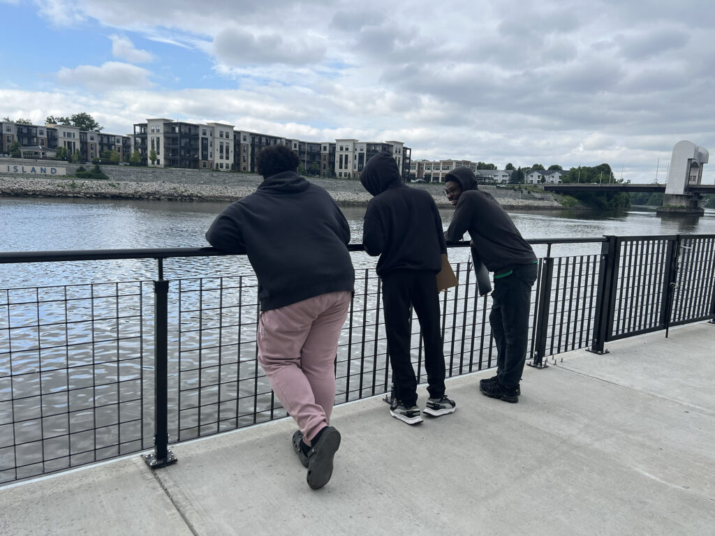
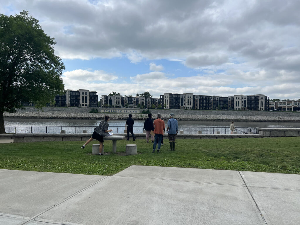
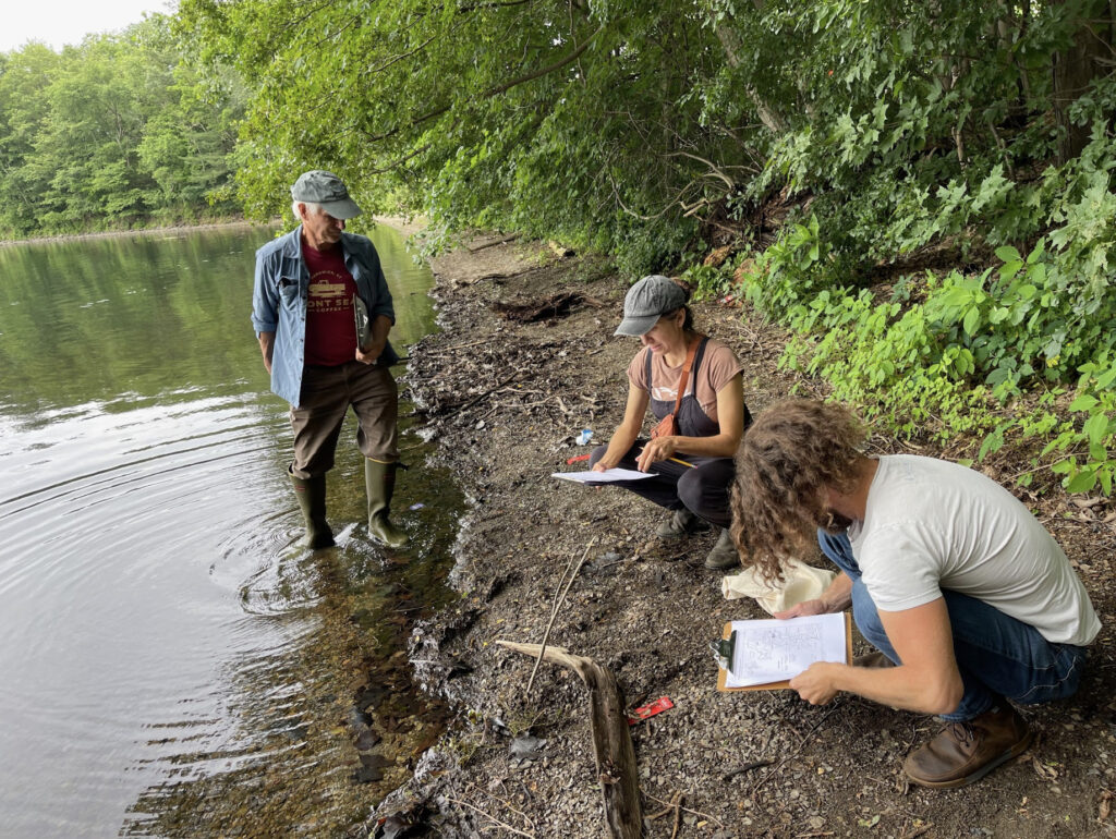
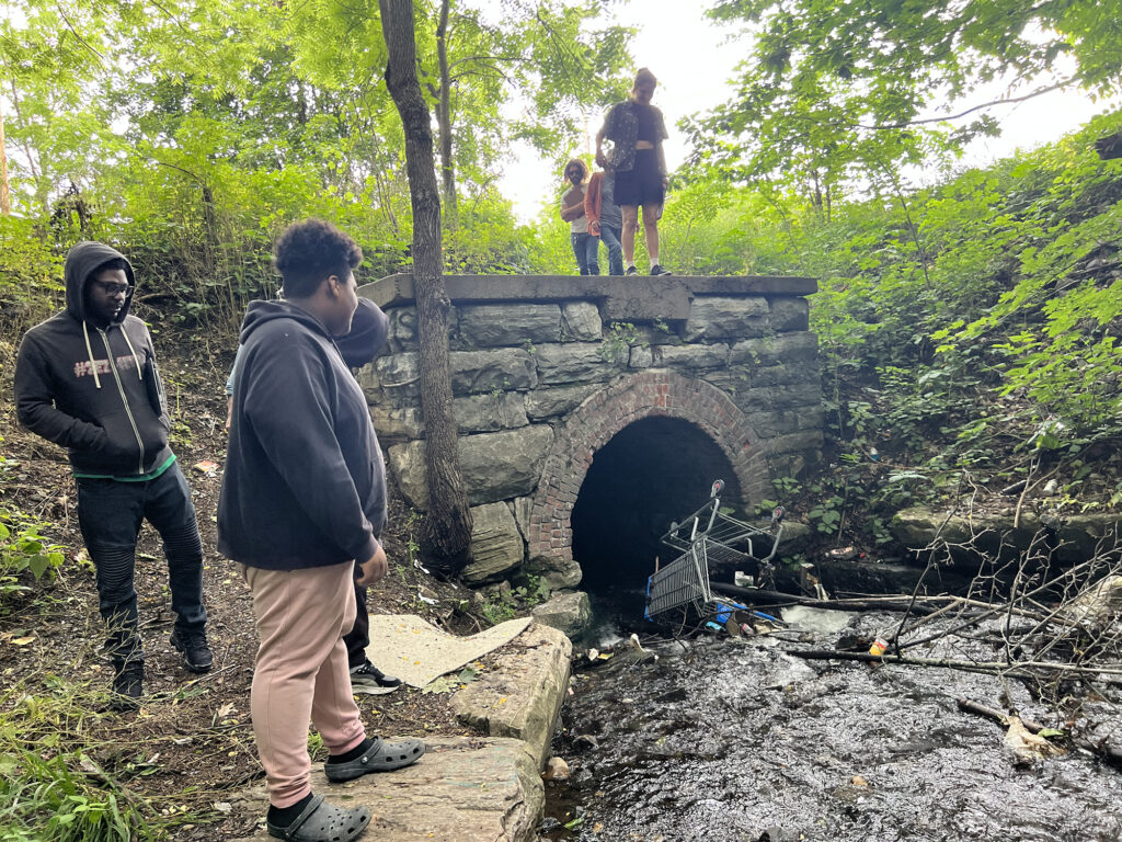
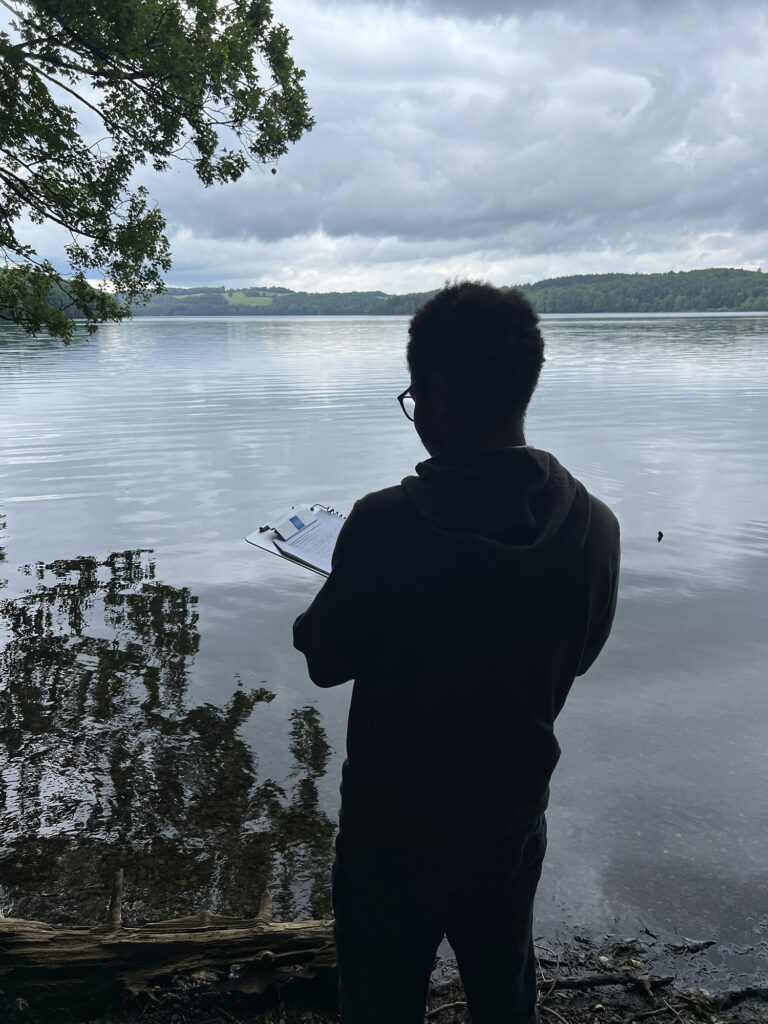
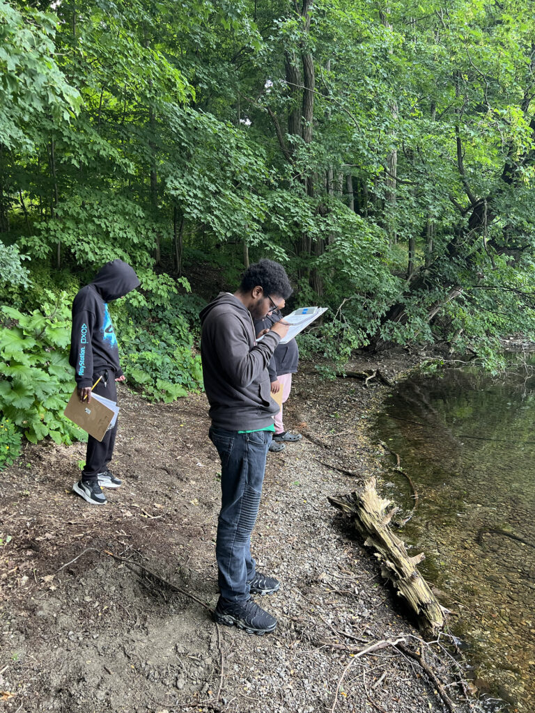
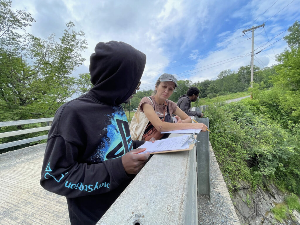
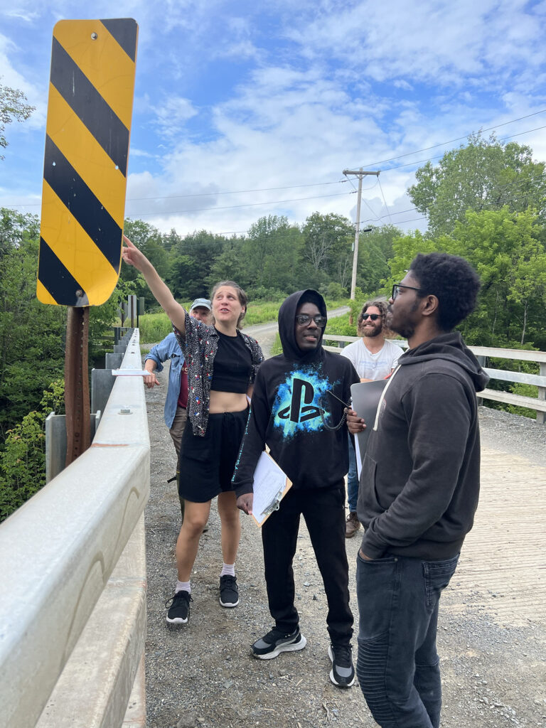
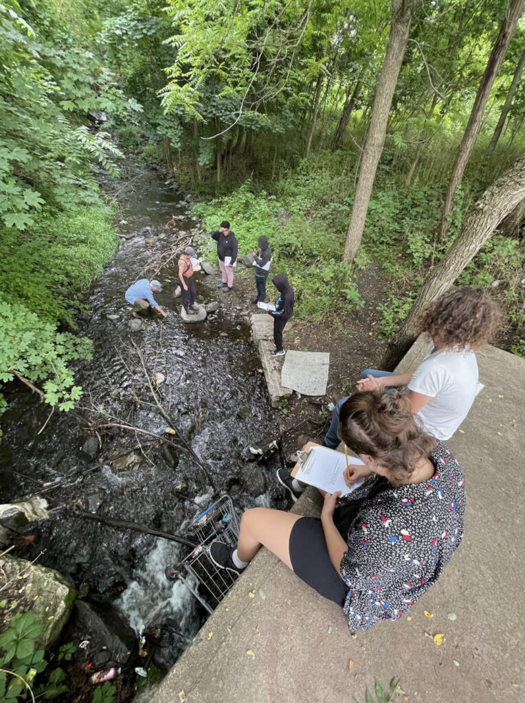
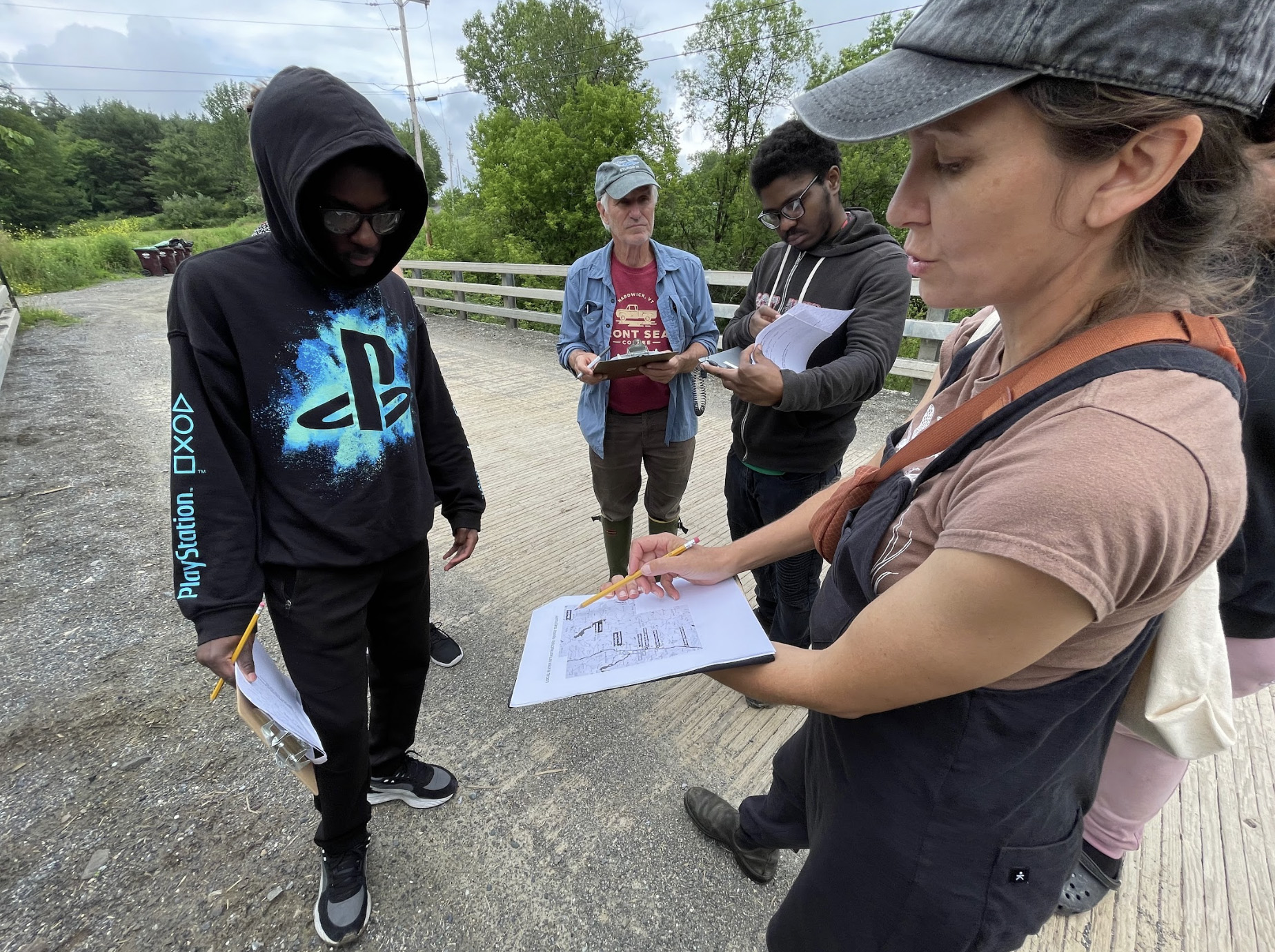
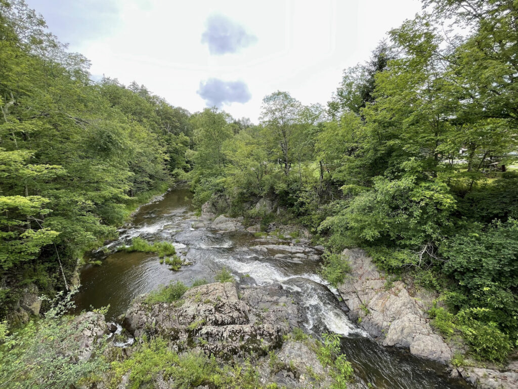
Below is photo documentation from each stop along the way. Fellows, interns, and mentors took notes about their surroundings and habitat at each site, and participated in a series of “environmental listening exercises” to work on expanding our multisensorial experience and knowledge of each site. We concluded with a discussion about role of water, public space, climate change and recreation at the Riverfront Park in downtown Troy, where we observed the recently re-developed park, seawall, and marina.
![Three youths in black hoodies lean on a railing at the edge of the Hudson River.](https://www.mediasanctuary.org/wp-content/uploads/2023/07/IMG_1170-1024x768.jpg)
![Five people look out at the Hudson River from Troy's Riverfront Park.](https://www.mediasanctuary.org/wp-content/uploads/2023/07/IMG_1166-1024x768.jpg)
![An older man wades in a shallow stream while two young people crouch on the shore and take notes.](https://www.mediasanctuary.org/wp-content/uploads/2023/07/Screenshot-2023-07-12-at-9.59.31-PM-1024x770.jpg)
![Five people stand at a culvert through which a stream flows. They are looking at a shopping cart that is situated at the mouth of the culvert.](https://www.mediasanctuary.org/wp-content/uploads/2023/07/IMG_1158-1024x768.jpg)
![A young person, standing silhouetted against a body of water, takes notes on a clipboard.](https://www.mediasanctuary.org/wp-content/uploads/2023/07/IMG_1155-768x1024.jpg)
![Three adolescents stand on a wooded shoreline, making observations and taking notes.](https://www.mediasanctuary.org/wp-content/uploads/2023/07/IMG_1153-2-768x1024.jpg)
![Ellie Irons takes notes with two Sanctuary water justice fellows. They are leaning against the guard rail of a bridge in a natural area.](https://www.mediasanctuary.org/wp-content/uploads/2023/07/Screenshot-2023-07-12-at-9.58.16-PM-1024x768.jpg)
![](https://www.mediasanctuary.org/wp-content/uploads/2023/07/IMG_1147-768x1024.jpg)
![Two youths sit on the edge of a culvert, taking notes, while five other people examine the low-flowing stream below.](https://www.mediasanctuary.org/wp-content/uploads/2023/07/Screenshot-2023-07-13-at-3.43.29-PM-764x1024.jpg)
![Ellie Irons, an older man, and two Sanctuary youth ambassadors stand on a bridge in a natural area, taking notes on clipboards.](https://www.mediasanctuary.org/wp-content/uploads/2023/07/Screenshot-2023-07-12-at-9.58.37-PM.jpg)
![A wide brook flanked with rocky edges and a variety of trees.](https://www.mediasanctuary.org/wp-content/uploads/2023/07/Screenshot-2023-07-13-at-3.41.31-PM-1024x768.jpg)
![A close-up of the map of local water infrastructure. A light-skinned hand uses a pencil to point to the Tomhannock Reservoir on the map.](https://www.mediasanctuary.org/wp-content/uploads/2023/07/Screenshot-2023-07-12-at-9.59.13-PM-1024x767.jpg)